GMU 70 · Mule deer, 3rd rifle
Sample preview. Zones and heat are model estimates, not facts or sightings. Place names, coordinates and edges are hidden in this preview.
Sample preview. Labels, coordinates and exact zone locations are removed. The interactive map, GPX/KML pins and full PDF are included in the full package. See pricing
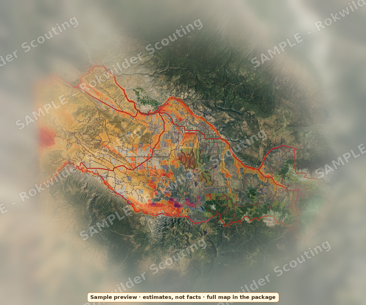
Heat = relative model score on public land. Estimates from public data, not guarantees. Check access and property lines yourself.
Real CPW numbers (public data)
| DM070O3R (3rd rifle buck) | Value |
|---|---|
| 2026 quota | 450 licenses; 450 drawn, 0 left |
| 2026 1st-choice applicants | 1,171 general + 78 landowner (LPP) |
| 2026 drew out at | Res 1 pt (165 of 181, 91%) · NonRes 6 pts (33 of 55, 60%) |
| 2025 harvest | 244 bucks, 387 hunters, 63.0% success, 1,802 rec. days |
| Other buck codes (2025) | Bucks | Hunters | Success |
|---|---|---|---|
| DM070O1A archery | 39 | 137 | 28.5% |
| DM070O1M muzzleloader | 42 | 91 | 46.2% |
| DM070O1R 1st rifle | 41 | 54 | 75.9% |
| DM070O2R 2nd rifle | 311 | 379 | 82.1% |
| DM070O4R 4th rifle | 55 | 79 | 69.6% |
Source: CPW 2026 Primary Deer Draw Recap, CPW 2025 Deer Harvest Estimates (survey estimates).
Top zones (estimates)
| ID | Lat, Lon | Land / elev | Nearby & access |
|---|---|---|---|
| D01 | 00.00000, -000.00000 | Public land · 0,000 ft | Hidden in sample · hidden in sample |
| D02 | 00.00000, -000.00000 | Public land · 0,000 ft | Hidden in sample · hidden in sample |
| D03 | 00.00000, -000.00000 | Public land · 0,000 ft | Hidden in sample · hidden in sample |
| D04 | 00.00000, -000.00000 | Public land · 0,000 ft | Hidden in sample · hidden in sample |
| D05 | 00.00000, -000.00000 | Public land · 0,000 ft | Hidden in sample · hidden in sample |
Coordinates, nearby landmarks and access notes for every zone are included in the full package. See pricing
Downloads
Sample PDF (preview, redacted)
GPX / KML waypoint files: included in the full package. See pricing